
Fayl:Russia Kaliningrad location map.svg

Size of this PNG preview of this SVG file: 800 × 500 pixels. Başqa çözüm: 320 × 200 pixels | 640 × 400 pixels | 1.024 × 640 pixels | 1.280 × 800 pixels | 2.560 × 1.599 pixels | 1.047 × 654 pixels.
Kerçek fayl (SVG faylı, nominal 1.047 × 654 piksel, fayl büyükligi: 74 KB)
Faylğa ait qısqa tarif
| Tasvir |
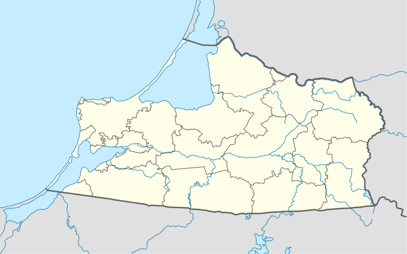
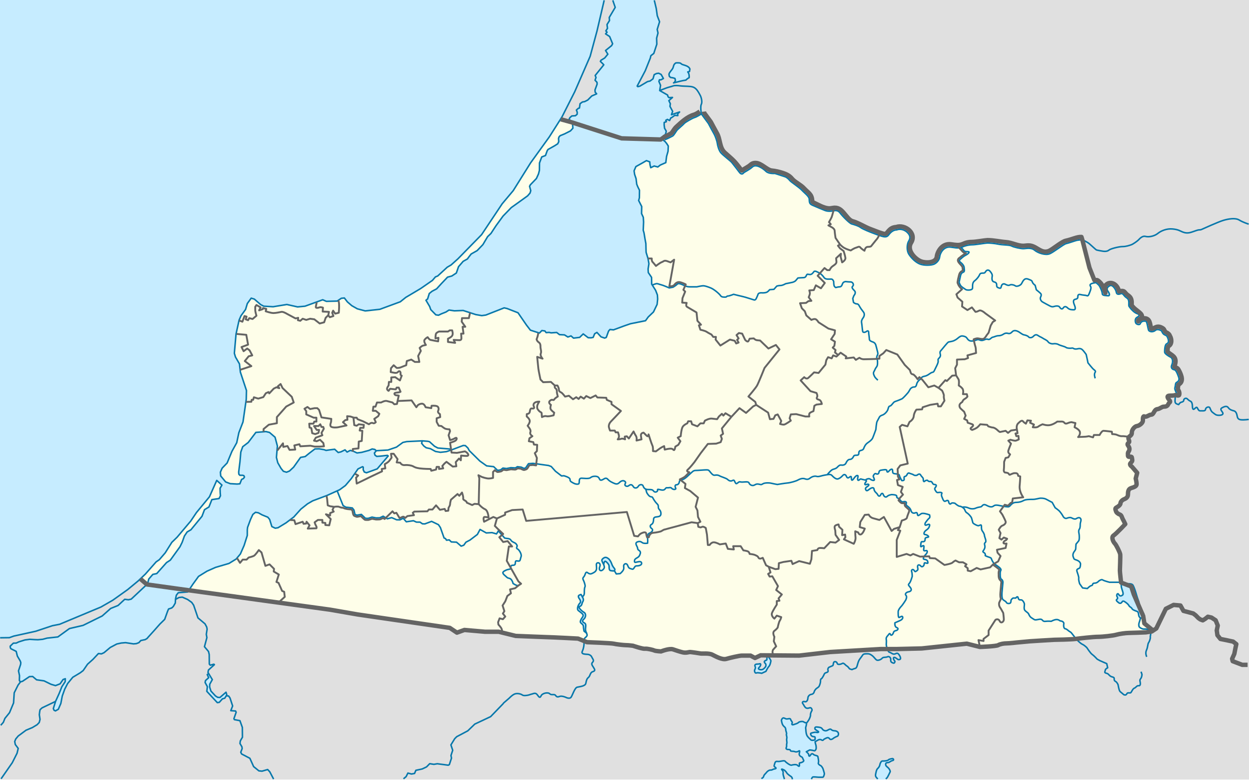
Quadratische Plattkarte, N-S-Streckung 174 %. Geographische Begrenzung der Karte:
Equirectangular projection, N/S stretching 174 %. Geographic limits of the map:
|
||
| Tarih | |||
| Menba |
Öz işi, using
|
||
| Yaratıcı | NordNordWest | ||
| İzin (Faylnı yañıdan qullanuv) |
I, the copyright holder of this work, hereby publish it under the following license: This file is licensed under the Creative Commons Attribution-Share Alike 3.0 Unported license.
|
||
| Other versions |
Derivative works of this file: |
||
| SVG genesis | This W3C-invalid locator map was created with Adobe Illustrator by NordNordWest.
|

Faylnıñ keçmişi
Faylnıñ kerekli anki alını körmek içün tarihqa/saatqa basıñız.
| Tarih ve saat | Kiçik resim | En × boy | Qullanıcı | İzaat | |
|---|---|---|---|---|---|
| şimdiki | 19:31, 2013 s. yanvarniñ 24 | | 1.047 × 654 (74 KB) | NordNordWest | upd |
| 18:49, 2009 s. oktâbrniñ 25 |  | 1.047 × 654 (150 KB) | NordNordWest | {{int:filedesc}} {{Information |Description= {{de|Positionskarte der Oblast Kaliningrad, Russland}} Quadratische Plattkarte, N-S-Streckung 174 %. Geographische Begrenzung der Karte: * N: 55.5° N * S: 54.1° N * |
Fayl qullanıluvı
Bu 24 saifeler qullana bu fayldı:
- Bagrationovsk
- Baltiysk
- Guryevsk (Kaliningrad vilâyeti)
- Gusev (şeer)
- Gvardeysk
- Kaliningrad
- Krasnoznamensk (Kaliningrad vilâyeti)
- Laduşkin
- Mamonovo
- Neman (şeer)
- Nesterov (Kaliningrad vilâyeti)
- Ozörsk (Kaliningrad vilâyeti)
- Pionerskiy (şeer)
- Polessk
- Pravdinsk
- Primorsk (Kaliningrad vilâyeti)
- Slavsk
- Sovetsk (Kaliningrad vilâyeti)
- Svetlogorsk (Kaliningrad vilâyeti)
- Svetlıy (Kaliningrad vilâyeti)
- Yantarnıy
- Zelenogradsk
- Çernâhovsk
- Şablon:Location map Rusiye Kaliningrad vilâyeti
Umumiy fayl qullanıluvı
Bu vikilerde bu fayldı qullana:
- af.wikipedia.org qullanım
- ar.wikipedia.org qullanım
- azb.wikipedia.org qullanım
- az.wikipedia.org qullanım
- be.wikipedia.org qullanım
- Калінінград
- Баграціёнаўск
- Азёрск (Калінінградская вобласць)
- Шаблон:На карце/Расія Калінінградская вобласць
- Светлагорск (Калінінградская вобласць)
- Савецк (Калінінградская вобласць)
- Гвардзейск
- Несцераў (Калінінградская вобласць)
- Піянерскі (горад)
- Гур’еўск (Калінінградская вобласць)
- Светлы (Калінінградская вобласць)
- Неман (горад)
- Мамонава (горад)
- Зеленаградск
- Красназнаменск (Калінінградская вобласць)
- Знаменск (Калінінградская вобласць)
- Палеск (горад)
- Ладушкін
- Рыбачы (Калінінградская вобласць)
- Янтарны (Калінінградская вобласць)
- Нівенскае
- Жалезнадарожны (Калінінградская вобласць)
- bg.wikipedia.org qullanım
- bn.wikipedia.org qullanım
- ceb.wikipedia.org qullanım
- ce.wikipedia.org qullanım
- Калининград
- Черемхово (Калининградан область)
- Моргуново (Гурьевскан гӀалин гуо)
- Дачни (Зеленоградскан кӀошт)
- Зеленцово (Правдинскан кӀошт)
- Озерск (Калининградан область)
- Исток (Славскан кӀошт)
- Новоуральск (Краснознаменскан кӀошт)
- Дубрава (Озёрскан кӀошт)
- Карповка (Озёрскан кӀошт)
- Грачевка (Зеленоградскан кӀошт)
- Григорьевка (Полесскан кӀошт)
- Лунино (Гвардейскан кӀошт)
View more global usage of this file.