
Fayl:Kola peninsula.png
Bu baqıp çıquvnıñ büyükligi: 795 × 600 pixels. Başqa çözüm: 318 × 240 pixels | 636 × 480 pixels | 1.018 × 768 pixels | 1.140 × 860 pixels.
Kerçek fayl (1.140 × 860 piksel, fayl büyükligi: 665 KB, MIME çeşiti: image/png)
Faylğa ait qısqa tarif
| Tasvir |
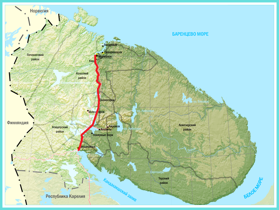
English: Kola Peninsula (by GSE) on map of Murmansk region.
Русский: Граница Кольского полуострова (по БСЭ) на карте Мурманской области |
| Tarih | |
| Menba | File:Murman_region.png |
| Yaratıcı | собственная доработка исходного файла |
Litsenziyalama
I, the copyright holder of this work, hereby publish it under the following licenses:

|
Permission is granted to copy, distribute and/or modify this document under the terms of the GNU Free Documentation License, Version 1.2 or any later version published by the Free Software Foundation; with no Invariant Sections, no Front-Cover Texts, and no Back-Cover Texts. A copy of the license is included in the section entitled GNU Free Documentation License. |
This file is licensed under the Creative Commons Attribution-Share Alike 3.0 Unported, 2.5 Generic, 2.0 Generic and 1.0 Generic license.
- Şunı yapmaq serbestsiñiz:
- paylaşmaq – eserni kopiyalamaq, tarqatmaq ve başqasına bermek
- remiks etmek – deñiştirip uyğunlaştırmaq
- Şu şartlar astında:
- atıf – You must give appropriate credit, provide a link to the license, and indicate if changes were made. You may do so in any reasonable manner, but not in any way that suggests the licensor endorses you or your use.
- aynı şekilde paylaşuv – If you remix, transform, or build upon the material, you must distribute your contributions under the same or compatible license as the original.
İstegen litsenziyañızñı saylay bilesiñiz.
Faylnıñ keçmişi
Faylnıñ kerekli anki alını körmek içün tarihqa/saatqa basıñız.
| Tarih ve saat | Kiçik resim | En × boy | Qullanıcı | İzaat | |
|---|---|---|---|---|---|
| şimdiki | 10:53, 2014 s. sentâbrniñ 21 | | 1.140 × 860 (665 KB) | Aesopus | Выделил Кольский полуостров более контрастно |
| 10:08, 2014 s. sentâbrniñ 21 |  | 1.140 × 860 (668 KB) | Aesopus | {{Information |Description ={{en|1=Kola Peninsula on map of Murmansk region.}} {{ru|1=Граница Кольского полуострова на карте Мурманской области}} |Source =https://commons.wikimedia.org/wiki/... |
Fayl qullanıluvı
Bu saife qullana bu fayldı:
Umumiy fayl qullanıluvı
Bu fayl aşağıdaki başqa vikilerde qullanıla:
- af.wikipedia.org leyhasında qullanıluvı
- ar.wikipedia.org leyhasında qullanıluvı
- ba.wikipedia.org leyhasında qullanıluvı
- bg.wikipedia.org leyhasında qullanıluvı
- ckb.wikipedia.org leyhasında qullanıluvı
- de.wikipedia.org leyhasında qullanıluvı
- el.wikipedia.org leyhasında qullanıluvı
- en.wikipedia.org leyhasında qullanıluvı
- es.wikipedia.org leyhasında qullanıluvı
- fi.wikipedia.org leyhasında qullanıluvı
- frr.wikipedia.org leyhasında qullanıluvı
- fr.wikipedia.org leyhasında qullanıluvı
- gl.wikipedia.org leyhasında qullanıluvı
- hu.wikipedia.org leyhasında qullanıluvı
- it.wikipedia.org leyhasında qullanıluvı
- ka.wikipedia.org leyhasında qullanıluvı
- ky.wikipedia.org leyhasında qullanıluvı
- lt.wikipedia.org leyhasında qullanıluvı
- mn.wikipedia.org leyhasında qullanıluvı
- mrj.wikipedia.org leyhasında qullanıluvı
- ms.wikipedia.org leyhasında qullanıluvı
- myv.wikipedia.org leyhasında qullanıluvı
- nl.wikipedia.org leyhasında qullanıluvı
- no.wikipedia.org leyhasında qullanıluvı
- os.wikipedia.org leyhasında qullanıluvı
- pl.wiktionary.org leyhasında qullanıluvı
- pt.wikipedia.org leyhasında qullanıluvı
- ru.wikipedia.org leyhasında qullanıluvı
- simple.wikipedia.org leyhasında qullanıluvı
- sw.wikipedia.org leyhasında qullanıluvı
- tt.wikipedia.org leyhasında qullanıluvı
- uk.wikipedia.org leyhasında qullanıluvı
- uz.wikipedia.org leyhasında qullanıluvı
- vi.wikipedia.org leyhasında qullanıluvı
- www.wikidata.org leyhasında qullanıluvı
- xmf.wikipedia.org leyhasında qullanıluvı
- zh.wikipedia.org leyhasında qullanıluvı