
Fayl:Vanuatu location map.svg

Size of this PNG preview of this SVG file: 324 × 599 pixels. Başqa çözüm: 130 × 240 pixels | 259 × 480 pixels | 415 × 768 pixels | 553 × 1.024 pixels | 1.107 × 2.048 pixels | 625 × 1.156 pixels.
Kerçek fayl (SVG faylı, nominal 625 × 1.156 piksel, fayl büyükligi: 79 KB)
Faylğa ait qısqa tarif
| Camera location | | View this and other nearby images on: OpenStreetMap |
|---|
| Tasvir |
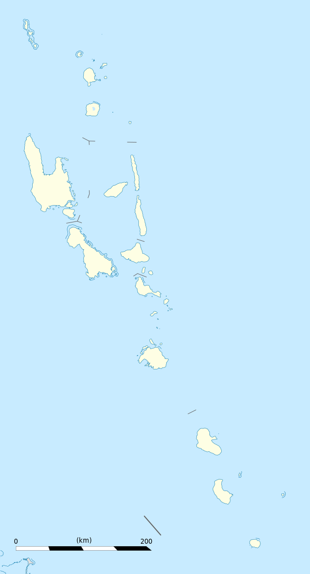
Equirectangular projection, WGS84 datum
Geographic limits of the map:
|
||
| Tarih | |||
| Menba |
Öz işi
|
||
| Yaratıcı | Eric Gaba (Sting - fr:Sting) | ||
| İzin (Faylnı yañıdan qullanuv) |
|
||
| Other versions |
|

Litsenziyalama
I, the copyright holder of this work, hereby publish it under the following licenses:
This file is licensed under the Creative Commons Attribution-Share Alike 3.0 Unported license.
- Azatsıñız:
- paylaşuv – qopyaluv, dağıtuv ve iletüv
- remiks etüv – uyğunlaştıruv
- Bu şartlar astında:
- attribution – You must give appropriate credit, provide a link to the license, and indicate if changes were made. You may do so in any reasonable manner, but not in any way that suggests the licensor endorses you or your use.
- aynı şekilde paylaşuv – If you remix, transform, or build upon the material, you must distribute your contributions under the same or compatible license as the original.

|
Permission is granted to copy, distribute and/or modify this document under the terms of the GNU Free Documentation License, Version 1.2 or any later version published by the Free Software Foundation; with no Invariant Sections, no Front-Cover Texts, and no Back-Cover Texts. A copy of the license is included in the section entitled GNU Free Documentation License. |
İstedigiñiz lisansnı seçebilirsiñiz.
Faylnıñ keçmişi
Faylnıñ kerekli anki alını körmek içün tarihqa/saatqa basıñız.
| Tarih ve saat | Kiçik resim | En × boy | Qullanıcı | İzaat | |
|---|---|---|---|---|---|
| şimdiki | 19:02, 2013 s. oktâbrniñ 21 | | 625 × 1.156 (79 KB) | TUBS | +provincial seaborders and matching int'l maritime borders |
| 22:12, 2009 s. yanvarniñ 21 |  | 625 × 1.156 (134 KB) | Sting | == Summary == {{Location|16|42|00|S|168|24|00|E|scale:3000000}} <br/> {{Information |Description={{en|Blank administrative map of Vanuatu in Oceania, for geo-location purposes.}} {{fr|Carte administrative vierge de [[:fr:Va |
Fayl qullanıluvı
Bu saife qullana bu fayldı:
Umumiy fayl qullanıluvı
Bu vikilerde bu fayldı qullana:
- af.wikipedia.org qullanım
- an.wikipedia.org qullanım
- ar.wikipedia.org qullanım
- ast.wikipedia.org qullanım
- Puertu Villa
- Módulu:Mapa de llocalización/datos/Vanuatu
- Módulu:Mapa de llocalización/datos/Vanuatu/usu
- Aeropuertu Internacional Bauerfield
- Aeropuertu Internacional de Santo-Pekoa
- Malakula
- Aore
- Luganville (Vanuatu)
- Monte Tabwemasana
- Maewo
- Erromango
- Islla de Pentecostés
- Aneityum
- Vanua Lava
- Islla Epi
- Ambae
- Gaua
- Efate
- Islla Espíritu Santo (Vanuatu)
- Ambrym
- Islla Tanna
- az.wikipedia.org qullanım
- ba.wikipedia.org qullanım
- be-tarask.wikipedia.org qullanım
- be.wikipedia.org qullanım
- bg.wikipedia.org qullanım
- bn.wikipedia.org qullanım
- bs.wikipedia.org qullanım
- ceb.wikipedia.org qullanım
View more global usage of this file.