
Fayl:Map of Nizhny Novgorod Region (PosMap).svg

Size of this PNG preview of this SVG file: 512 × 545 pixels. Başqa çözüm: 225 × 240 pixels | 451 × 480 pixels | 721 × 768 pixels | 962 × 1.024 pixels | 1.924 × 2.048 pixels.
Kerçek fayl (SVG faylı, nominal 512 × 545 piksel, fayl büyükligi: 140 KB)
| Tasvir |
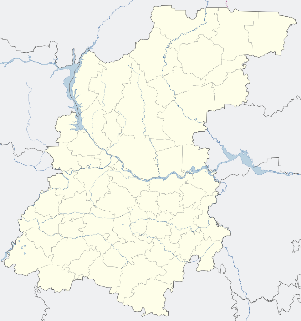
English: Map of the Nizhny Novgorod region (for the PozMap template) Русский: Карта Нижегородской области (для шаблона ПозКарта) |
| Tarih | |
| Menba | Öz işi |
| Yaratıcı |
English: Evgeny Katyshev Русский: Евгений Катышев |
| İzin (Faylnı yañıdan qullanuv) |
This file is licensed under the Creative Commons Attribution-Share Alike 3.0 Unported license.
|
| Other versions |
|

.svg)
Faylnıñ keçmişi
Faylnıñ kerekli anki alını körmek içün tarihqa/saatqa basıñız.
| Tarih ve saat | Kiçik resim | En × boy | Qullanıcı | İzaat | |
|---|---|---|---|---|---|
| şimdiki | 06:13, 2015 s. oktâbrniñ 11 | | 512 × 545 (140 KB) | Stasyan117 | Незачем выделять зелёным |
| 07:57, 2015 s. iyünniñ 4 |  | 512 × 545 (140 KB) | AlexTref871 | Добавлена новая территория Сормовского и Московского районов | |
| 09:55, 2014 s. noyabrniñ 30 |  | 512 × 545 (140 KB) | AlexTref871 | Границы города были расширены за счёт присоединения Зелёного города к Нижегородскому району. Поменял цвет с «горьковского» красного на... | |
| 17:27, 2012 s. sentâbrniñ 17 |  | 765 × 815 (204 KB) | Nzeemin | Oblast/borders colors changed according to standard; fixed rivers and borders near the map edges | |
| 05:35, 2008 s. aprelniñ 24 |  | 765 × 815 (175 KB) | Lzhl | ||
| 05:31, 2008 s. aprelniñ 24 |  | 765 × 815 (351 KB) | Lzhl | ||
| 05:24, 2008 s. aprelniñ 24 |  | 765 × 815 (351 KB) | Lzhl | ||
| 05:21, 2008 s. aprelniñ 24 |  | 765 × 815 (351 KB) | Lzhl | {{Information |Description={{ru|Карта Нижегородской области (для шаблона ПозКарта)}} |Source=Собственная работа |Date=24.04.2008 |Author=Евгений Катышев |Permission={{PD-self}] |oth |
Fayl qullanıluvı
Bu 89 saifeler qullana bu fayldı:
- Ardatov (Nijniy Novgorod vilâyeti)
- Arya
- Arzamas
- Balahna
- Blijne-Pesoçnoye
- Bogorodsk
- Bolşoye Boldino
- Bolşoye Kozino
- Bolşoye Muraşkino
- Bor (Nijniy Novgorod vilâyeti)
- Buturlino (Nijniy Novgorod vilâyeti)
- Dalneye Konstantinovo
- Diveyevo
- Dosçatoye
- Dzerjinsk (Nijniy Novgorod vilâyeti)
- Frolişçi
- Gagino (Nijniy Novgorod vilâyeti)
- Gidrotorf (şeer şeklinde qasaba)
- Gorbatov
- Gorbatovka
- Gorodets
- Gremâçevo (Nijniy Novgorod vilâyeti)
- Knâginino
- Kovernino
- Krasnıye Baki
- Kstovo
- Kulebaki
- Lesogorsk (şeer şeklinde qasaba, Nijniy Novgorod vilâyeti)
- Lukino (Balahna rayonı)
- Lukoyanov
- Lıskovo
- Maloye Kozino
- Muhtolovo
- Navaşino
- Nijniy Novgorod
- Pavlovo
- Perevoz (Nijniy Novgorod vilâyeti)
- Pervomaysk (Nijniy Novgorod vilâyeti)
- Pervomayskiy (Gorodets rayonı)
- Pervoye Maya (şeer şeklinde qasaba, Balahna rayonı)
- Pijma (Nijniy Novgorod vilâyeti)
- Pilna
- Poçinki (Poçinki rayonı)
- Raboçiy posölok imeni M. İ. Kalinina
- Raboçiy posölok imeni Stepana Razina
- Reşetiha
- Sarov
- Satis (Pervomaysk şeer bölgesi)
- Semönov (şeer)
- Sergaç
- Seçenovo
- Smolino (Nijniy Novgorod vilâyeti)
- Sokolskoye (Nijniy Novgorod vilâyeti)
- Sosnovskoye (Sosnovskoye rayonı)
- Spasskoye (Spasskoye rayonı)
- Suhobezvodnoye (şeer şeklinde qasaba)
- Sâva (Nijniy Novgorod vilâyeti)
- Tonkino
- Tonşayevo
- Tsentralnıy (Volodarsk rayonı)
- Tumbotino
- Urazovka (Nijniy Novgorod vilâyeti)
- Uren
- Vad (Nijniy Novgorod vilâyeti)
- Vahtan
- Varnavino
- Vasilsursk
- Vaça (Nijniy Novgorod vilâyeti)
- Vetluga (şeer)
- Vetlujskiy (Nijniy Novgorod vilâyeti)
- Vilâ
- Volodarsk (Rusiye)
- Vorotınets
- Vorsma
- Voskresenskoye (Voskresenskoye rayonı, Nijniy Novgorod vilâyeti)
- Voznesenskoye (Voznesenskoye rayonı, Nijniy Novgorod vilâyeti)
- Vıksa
- Vıyezdnoye (Arzamas rayonı)
- Yuganets
- Zavoljye (şeer)
- Zelönıy Gorod (Nijniy Novgorod vilâyeti)
- Çkalovsk (Nijniy Novgorod vilâyeti)
- İlyinogorsk
- Şahunya
- Şaranga
- Şatki
- Şaygino
- Şimorskoye
- Şablon:Location map Rusiye Nijniy Novgorod vilâyeti
Umumiy fayl qullanıluvı
Bu vikilerde bu fayldı qullana:
- af.wikipedia.org qullanım
- alt.wikipedia.org qullanım
- ar.wikipedia.org qullanım
- ast.wikipedia.org qullanım
- azb.wikipedia.org qullanım
- ba.wikipedia.org qullanım
- be.wikipedia.org qullanım
- Ніжні Ноўгарад
- Арзамас
- Сароў
- Дзяржынск (Ніжагародская вобласць)
- Кстова
- Багародск
- Балахна
- Бор (Расія)
- Валадарск (горад)
- Ворсма
- Выкса
- Вятлуга (горад)
- Гарбатаў (горад)
- Імя М. І. Калініна
- Гарадзец (Ніжагародская вобласць)
- Заволжа (горад)
- Княгініна
- Кулябакі
- Лукаянаў
- Лыскава (горад)
- Імя Сцяпана Разіна
- Навашына
- Паўлава (горад)
- Первамайск (Ніжагародская вобласць)
- Перавоз (Ніжагародская вобласць)
- Сямёнаў (горад)
- Сяргач
- Урэнь
- Чкалаўск
- Шахунья
- Шаблон:На карце/Расія Ніжагародская вобласць
- Пільна
- Варатынец
- Разлівайкі
- Сасноўскае (Сасноўскі раён)
- Васільсурск
- Ардатаў (Ніжагародская вобласць)
- Варнавіна (Ніжагародская вобласць)
- Шаткі
- Таншаева
View more global usage of this file.
.svg)
.svg)