
Fayl:Location map of Mari El 2.svg

Size of this PNG preview of this SVG file: 800 × 500 pixels. Başqa çözüm: 320 × 200 pixels | 640 × 400 pixels | 1.024 × 640 pixels | 1.280 × 800 pixels | 2.560 × 1.600 pixels | 3.497 × 2.185 pixels.
Kerçek fayl (SVG faylı, nominal 3.497 × 2.185 piksel, fayl büyükligi: 2,06 MB)
Faylğa ait qısqa tarif
| Tasvir |
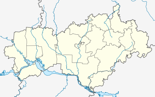
Русский: Позиционная карта Республики Марий Эл English: Location map of Republic of Mari El |
| Tarih | |
| Menba | Öz işi |
| Yaratıcı | Gajmar |
Litsenziyalama
I, the copyright holder of this work, hereby publish it under the following license:
This file is licensed under the Creative Commons Attribution-Share Alike 4.0 International license.
- Azatsıñız:
- paylaşuv – qopyaluv, dağıtuv ve iletüv
- remiks etüv – uyğunlaştıruv
- Bu şartlar astında:
- attribution – You must give appropriate credit, provide a link to the license, and indicate if changes were made. You may do so in any reasonable manner, but not in any way that suggests the licensor endorses you or your use.
- aynı şekilde paylaşuv – If you remix, transform, or build upon the material, you must distribute your contributions under the same or compatible license as the original.
Faylnıñ keçmişi
Faylnıñ kerekli anki alını körmek içün tarihqa/saatqa basıñız.
| Tarih ve saat | Kiçik resim | En × boy | Qullanıcı | İzaat | |
|---|---|---|---|---|---|
| şimdiki | 09:00, 2014 s. dekabrniñ 1 | | 3.497 × 2.185 (2,06 MB) | Gajmar | fix |
| 19:57, 2014 s. noyabrniñ 24 |  | 3.497 × 2.185 (2,06 MB) | Gajmar | fix | |
| 16:04, 2014 s. noyabrniñ 24 |  | 3.497 × 2.185 (2,06 MB) | Gajmar | User created page with UploadWizard |
Fayl qullanıluvı
Bu 20 saifeler qullana bu fayldı:
Umumiy fayl qullanıluvı
Bu vikilerde bu fayldı qullana:
- af.wikipedia.org qullanım
- cv.wikipedia.org qullanım
- da.wikipedia.org qullanım
- en.wikipedia.org qullanım
- Yoshkar-Ola
- Volga Federal District
- Kozmodemyansk, Mari El Republic
- Volzhsk
- Zvenigovo
- Yoshkar-Ola Airport
- Danilovo (air base)
- Belyayevo
- Mari Depression
- Sovetsky, Mari El Republic
- Module:Location map/data/Russia Mari El/doc
- Alexandrovka, Russia
- Sea Eye Lake
- Medvedevo, Mari El Republic
- Yurino, Mari El Republic
- 2014 Winter Olympics torch relay
- Kilemary
- Kuzhener, Mari El Republic
- Mari-Turek
- Krasnooktyabrsky, Mari El Republic
- Morki
- Novy Toryal
- Orshanka, Orshansky District, Mari El Republic
- Paranga, Russia
- Sernur
- Privolzhsky, Mari El Republic
- Krasnogorsky, Mari El Republic
- Suslonger
View more global usage of this file.