
Fayl:France location map.svg

Size of this PNG preview of this SVG file: 626 × 600 pixels. Başqa çözüm: 251 × 240 pixels | 501 × 480 pixels | 802 × 768 pixels | 1.069 × 1.024 pixels | 2.138 × 2.048 pixels | 1.041 × 997 pixels.
Kerçek fayl (SVG faylı, nominal 1.041 × 997 piksel, fayl büyükligi: 643 KB)
Faylğa ait qısqa tarif
| Tasvir |
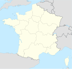
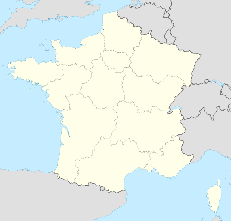
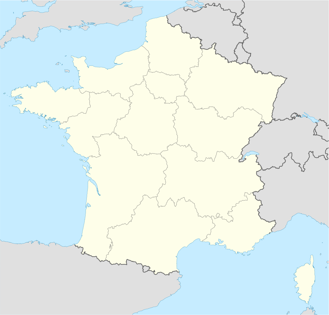
Deutsch: Positionskarte von Frankreich
Quadratische Plattkarte, N-S-Streckung 140 %. Geographische Begrenzung der Karte:
English: Location map of France
Equirectangular projection, N/S stretching 140 %. Geographic limits of the map:
Français : carte des régions Françaises |
||
| Tarih | 02-07-2008 | ||
| Menba | Öz işi (Original text: own work, using United States National Imagery and Mapping Agency data) | ||
| Yaratıcı | NordNordWest | ||
| Other versions |
Derivative works of this file: |
||
| SVG genesis | This map was created with Adobe Illustrator.
|

Litsenziyalama
NordNordWest, the copyright holder of this work, hereby publishes it under the following licenses:

|
Permission is granted to copy, distribute and/or modify this document under the terms of the GNU Free Documentation License, Version 1.2 or any later version published by the Free Software Foundation; with no Invariant Sections, no Front-Cover Texts, and no Back-Cover Texts. A copy of the license is included in the section entitled GNU Free Documentation License. |
This file is licensed under the Creative Commons Attribution-Share Alike 3.0 Unported license.
Attribution: NordNordWest
- Azatsıñız:
- paylaşuv – qopyaluv, dağıtuv ve iletüv
- remiks etüv – uyğunlaştıruv
- Bu şartlar astında:
- attribution – You must give appropriate credit, provide a link to the license, and indicate if changes were made. You may do so in any reasonable manner, but not in any way that suggests the licensor endorses you or your use.
- aynı şekilde paylaşuv – If you remix, transform, or build upon the material, you must distribute your contributions under the same or compatible license as the original.
İstedigiñiz lisansnı seçebilirsiñiz.
Faylnıñ keçmişi
Faylnıñ kerekli anki alını körmek içün tarihqa/saatqa basıñız.
| Tarih ve saat | Kiçik resim | En × boy | Qullanıcı | İzaat | |
|---|---|---|---|---|---|
| şimdiki | 09:43, 2016 s. yanvarniñ 2 | | 1.041 × 997 (643 KB) | Superbenjamin | New borders |
| 12:33, 2012 s. oktâbrniñ 2 |  | 1.041 × 997 (920 KB) | Palosirkka | Reverted to version as of 14:18, 7 July 2008 Location maps must remain very accurate | |
| 05:33, 2012 s. oktâbrniñ 2 |  | 1.041 × 997 (566 KB) | Palosirkka | Scrubbed with http://codedread.com/scour/ | |
| 14:18, 2008 s. iyülniñ 7 |  | 1.041 × 997 (920 KB) | NordNordWest | ||
| 18:05, 2008 s. iyülniñ 5 |  | 1.041 × 997 (920 KB) | NordNordWest | corrected | |
| 19:14, 2008 s. iyülniñ 2 |  | 1.041 × 997 (1,17 MB) | NordNordWest | ||
| 19:09, 2008 s. iyülniñ 2 |  | 1.041 × 997 (1,17 MB) | NordNordWest | {{Information |Description= {{de|Positionskarte von Frankreich}} Quadratische Plattkarte, N-S-Streckung 140 %. Geographische Begrenzung der Karte: * N: 51.6° N * S: 41.0° N * W: 5.3° W * O: 10.2° O {{en|Location map of [[:en:France| |
Fayl qullanıluvı
Bu faylnı qullanğan saife yoq.
Umumiy fayl qullanıluvı
Bu vikilerde bu fayldı qullana:
- av.wikipedia.org qullanım
- ba.wikipedia.org qullanım
- bn.wikipedia.org qullanım
- ceb.wikipedia.org qullanım
- Beaulieu
- Beaumont
- Saint-Léger
- Entraigues-sur-la-Sorgue
- Villenave-d'Ornon
- Osse-en-Aspe
- Les Eyzies-de-Tayac-Sireuil
- Quincerot, Côte-d'Or
- Courcelles
- Loguivy-Plougras
- Saint-Erblon, Ille-et-Vilaine
- Locmalo
- Chémery-sur-Bar
- Bourgogne (pagklaro)
- Ferrières
- Beaufort
- Montricher-Albanne
- Bonne
- Montendre
- Cauterets
- Castelmaurou
- Naives-Rosières
- Merlines
- Guémené-Penfao
- Gesté
- Belleau
- Lavalette
- La Chapelle
- Barby
- Gourdon
- Rouvroy
- Remicourt
- Rochefort
- Sainte-Foy, Saône-et-Loire
- Bray
- Villefranche
- Roche
- La Barre
View more global usage of this file.