
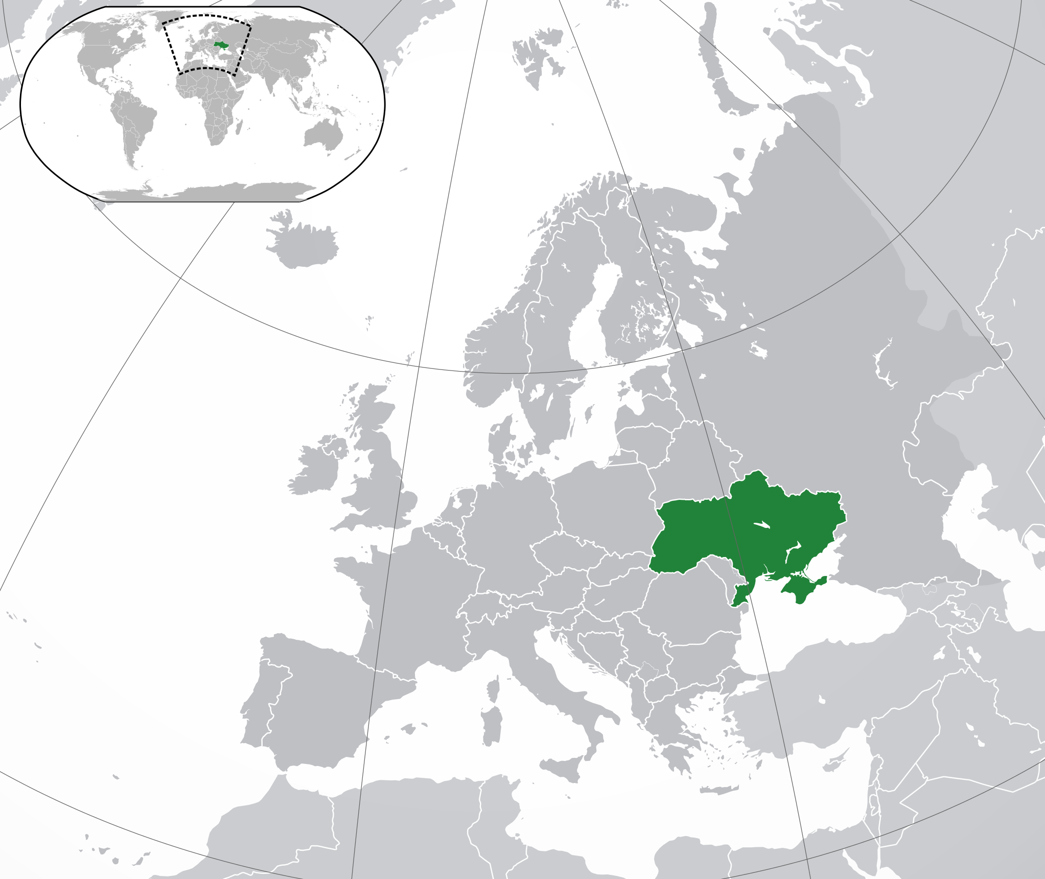
Fayl:Europe-Ukraine.svg

Size of this PNG preview of this SVG file: 713 × 600 pixels. Başqa çözüm: 285 × 240 pixels | 571 × 480 pixels | 913 × 768 pixels | 1.218 × 1.024 pixels | 2.435 × 2.048 pixels | 2.045 × 1.720 pixels.
Kerçek fayl (SVG faylı, nominal 2.045 × 1.720 piksel, fayl büyükligi: 7,33 MB)
Faylğa ait qısqa tarif
| Tasvir | |
| Tarih | |
| Menba | Öz işi |
| Yaratıcı |
|
| Other versions |
|
| SVG genesis |
.svg)
Litsenziyalama
I, the copyright holder of this work, hereby publish it under the following license:
This file is licensed under the Creative Commons Attribution 3.0 Unported license.
- Azatsıñız:
- paylaşuv – qopyaluv, dağıtuv ve iletüv
- remiks etüv – uyğunlaştıruv
- Bu şartlar astında:
- attribution – You must give appropriate credit, provide a link to the license, and indicate if changes were made. You may do so in any reasonable manner, but not in any way that suggests the licensor endorses you or your use.
Faylnıñ keçmişi
Faylnıñ kerekli anki alını körmek içün tarihqa/saatqa basıñız.
| Tarih ve saat | Kiçik resim | En × boy | Qullanıcı | İzaat | |
|---|---|---|---|---|---|
| şimdiki | 17:19, 2022 s. dekabrniñ 12 | | 2.045 × 1.720 (7,33 MB) | Alexassandro | Reverted to version as of 14:22, 11 August 2015 (UTC) |
| 01:18, 2017 s. martnıñ 10 |  | 2.045 × 1.720 (7,34 MB) | Geom10 | fixed disputed borders | |
| 14:22, 2015 s. avgustnıñ 11 |  | 2.045 × 1.720 (7,33 MB) | Seryo93 | border is suitable for uncontrolled-territory variant | |
| 08:29, 2015 s. avgustnıñ 11 |  | 2.045 × 1.720 (7,33 MB) | Seryo93 | Second attempt at uploading | |
| 08:24, 2015 s. avgustnıñ 11 |  | 2.045 × 1.720 (7,33 MB) | Seryo93 | Isthmus of Perekop was too wide. Updated to match File:Europe-Ukraine (disputed territory).svg (except colour, of course) | |
| 16:03, 2014 s. martnıñ 19 |  | 2.045 × 1.720 (2,7 MB) | A.Savin | Reverted to pre-editwar state | |
| 20:06, 2014 s. martnıñ 18 |  | 2.045 × 1.720 (2,71 MB) | Артур михайлович | Reverted to version as of 17:05, 18 March 2014 | |
| 17:06, 2014 s. martnıñ 18 |  | 2.045 × 1.720 (2,71 MB) | Misha motsniy | по примеру с оккупироваными териториями Грузии и Кипра | |
| 17:05, 2014 s. martnıñ 18 |  | 2.045 × 1.720 (2,71 MB) | Misha motsniy | по примеру с оккупироваными териториями Грузии и Кипра | |
| 17:04, 2014 s. martnıñ 18 |  | 2.045 × 1.720 (2,71 MB) | Misha motsniy | по примеру с оккупироваными териториями Грузии и Кипра |
.svg)
Fayl qullanıluvı
Bu saife qullana bu fayldı:
Umumiy fayl qullanıluvı
Bu vikilerde bu fayldı qullana:
- ady.wikipedia.org qullanım
- af.wikipedia.org qullanım
- af.wiktionary.org qullanım
- ami.wikipedia.org qullanım
- am.wikipedia.org qullanım
- ang.wikipedia.org qullanım
- arc.wikipedia.org qullanım
- ar.wikipedia.org qullanım
- av.wikipedia.org qullanım
- awa.wikipedia.org qullanım
- az.wiktionary.org qullanım
- ba.wikipedia.org qullanım
- bbc.wikipedia.org qullanım
- be-tarask.wikipedia.org qullanım
- be.wikipedia.org qullanım
- cu.wikipedia.org qullanım
- dag.wikipedia.org qullanım
- da.wikipedia.org qullanım
- din.wikipedia.org qullanım
- en.wikipedia.org qullanım
- es.wikipedia.org qullanım
- fi.wikipedia.org qullanım
- fj.wikipedia.org qullanım
- gcr.wikipedia.org qullanım
- hr.wikipedia.org qullanım
- incubator.wikimedia.org qullanım
- inh.wikipedia.org qullanım
- it.wikipedia.org qullanım
- jam.wikipedia.org qullanım
- ja.wikipedia.org qullanım
- ka.wikipedia.org qullanım
- kg.wikipedia.org qullanım
- li.wikipedia.org qullanım
- lo.wikipedia.org qullanım
- lt.wikipedia.org qullanım
- lv.wikipedia.org qullanım
View more global usage of this file.